Project
Copenhagen’s new North Harbour district
LE34 is helping transform Copenhagen’s Nordhavn (North Harbour) from an old industrial district into a maritime metropolis: a brand new district has emerged in Copenhagen.

As the surveying consultant to CPH City & Port Development, LE34 contributes to the development of the Århusgade district, Sundmolen, Fortkaj and Orientkaj. The district has a beautiful promenade and is a mix of new buildings and existing, but modernised, buildings.
A new Copenhagen rises from the sea
Seen through the eyes of a land surveyor, the urban development in Nordhavn, Copenhagen’s North Harbour district, offers both distinguishing features and challenges: it is a combination of old buildings of special architectural interest, newly built properties, public areas and land that has not yet been entered in the land register, i.e. land that has not yet been registered as real property and which therefore cannot be sold or built upon.
LE34’s first job was to create the foundation for the future urban development by entering the first areas of the free port’s land – the Århusgade district – in the land register and then dividing the land into parcels according to the local development plan and as requested by CPH City & Port Development.
Book a meeting to learn more
-
Property formation
We might as well say it as it is: LE34 should be your first stop when forming new properties. This gives you a sound legal foundation and ensures that you get off to the right start.
-
Land subdivision
Complete the contact form using the link below, and we will make sure the right specialist contacts you.
Read More -
Calculation of plot ratio
Complete the contact form using the link below, and we will make sure the right specialist contacts you.
Read More -
BBR statements
Complete the contact form using the link below, and we will make sure the right specialist contacts you.
Read More -
Monitoring
LE34 has long been at the forefront of monitoring large building and civil engineering projects. We offer a complete range of monitoring services, including conventional monitoring, deformation monitoring, geotechnical monitoring, and noise and vibration monitoring.
-
UAV surveying
LE34 is a leader in UAV surveying, using several drone models, methods and applications. Drones enable rapid and efficient surveying of large areas and hard-to-reach objects.
-
IBS certificate
Complete the contact form using the link below, and we will make sure the right specialist contacts you.
Read More
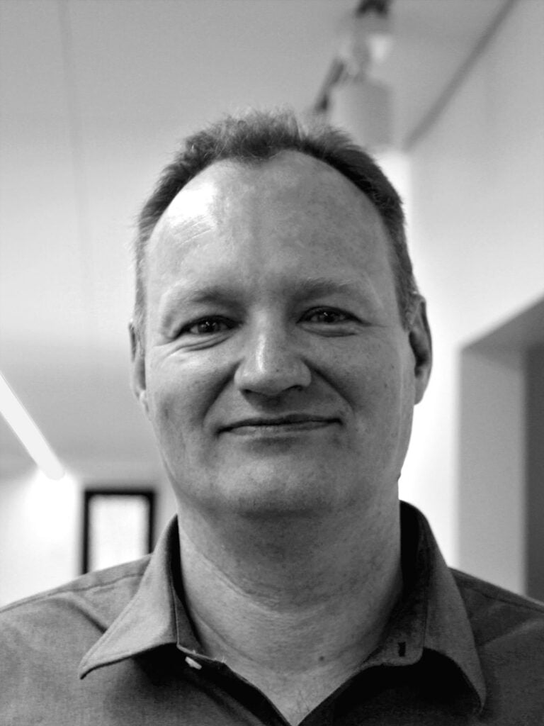
Lars Vognsen Christensen, LE34, chartered land surveyor and specialist in urban development:
“My primary duty is to explain to CPH City & Port Development how we will achieve our results. This is how LE34 helps prepare CPH City & Port Development for dialogue on future challenges. Others might keep their cards close to their chests, but I’ve never really understood why we would need a black box with contents our clients aren’t allowed to see.”

The art of balancing countless considerations
The final design of the new urban areas must take all of these considerations into account, including government regulations and commercial interests. We discuss appropriate interpretations with the client. For example, in the Nordhavn district, we advised our client on the most appropriate definition of boundary lines in border zones, which give owners the right to use part of the pavement in the boundary between private buildings and the public domain.
On behalf of CPH City & Port Development, we arrange for subdivision of the land into the parcels they require. We handle the entire process: from initial submission of the project to the City of Copenhagen to regular follow-up; from quality assurance of project documents to final registration with the Danish Geodata Agency.

Find out more
Contact us
You are welcome to contact project manager Lars Vognsen Christensen if you are interested in further details.
Lars Vognsen Christensen
Chartered land surveyor & partner
Specialist in Cadastral Services
+45 5131 4286
lvc@le34.dk